Zoom Earth serves as an invaluable tool for tracking hurricanes, typhoons, and tropical cyclones in real-time, offering a comprehensive suite of features designed to keep you informed and prepared. This interactive weather map of the world not only helps you monitor severe weather events but also provides a wealth of additional data to enhance your understanding of global weather patterns.
[Key Features]
Satellite Imagery: Zoom Earth provides near real-time satellite imagery from renowned sources like NOAA GOES, JMA Himawari, EUMETSAT Meteosat, and NASA's Aqua and Terra polar-orbiting satellites. This feature allows you to visualize the progression of tropical storms and cyclones as they develop and move across the globe.
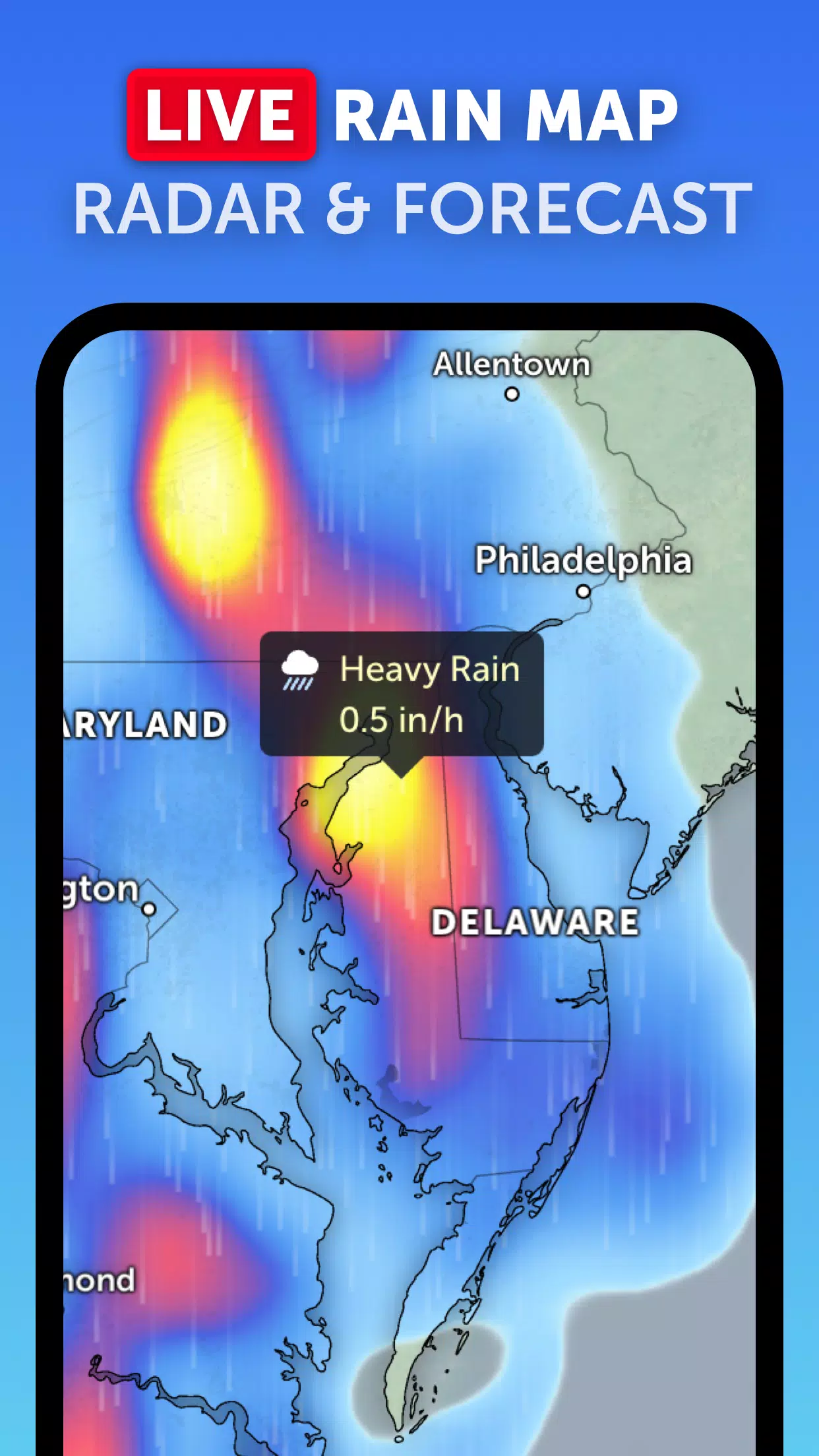
Rain Radar: With Zoom Earth's weather radar map, you can stay one step ahead of storms. It displays real-time rain and snow data detected by ground-based Doppler radar, helping you prepare for incoming weather systems.
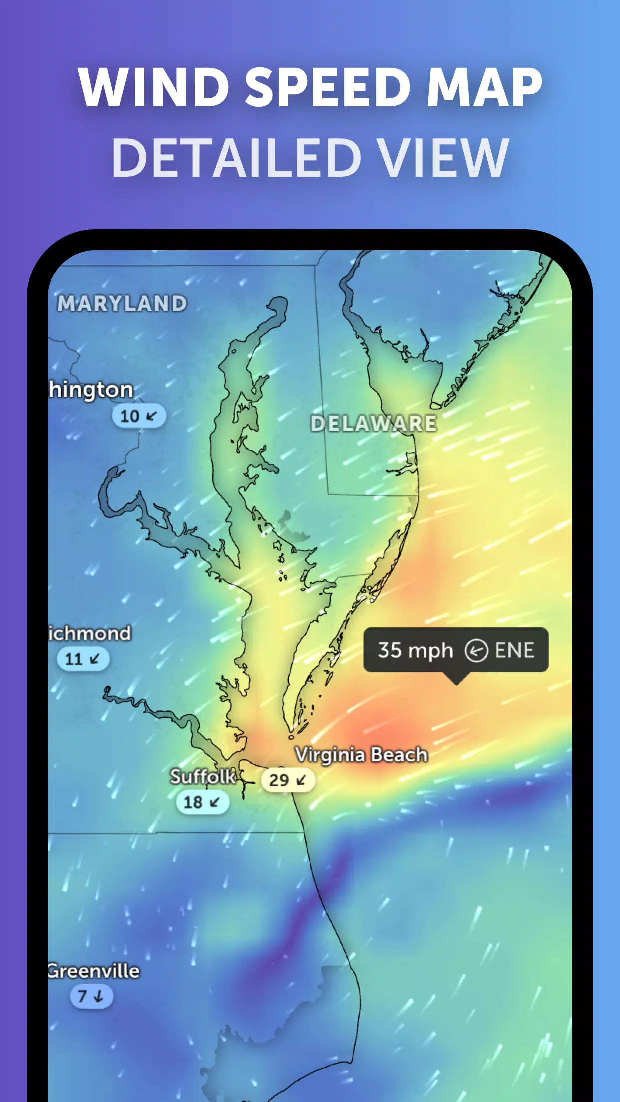
Weather Forecast Maps: Dive into the world of weather with Zoom Earth's interactive and visually stunning global forecast maps. These maps provide detailed forecasts on precipitation, wind speed and gusts, temperature, "feels like" temperature, relative humidity, dew point, and atmospheric pressure, ensuring you have all the information you need at your fingertips.
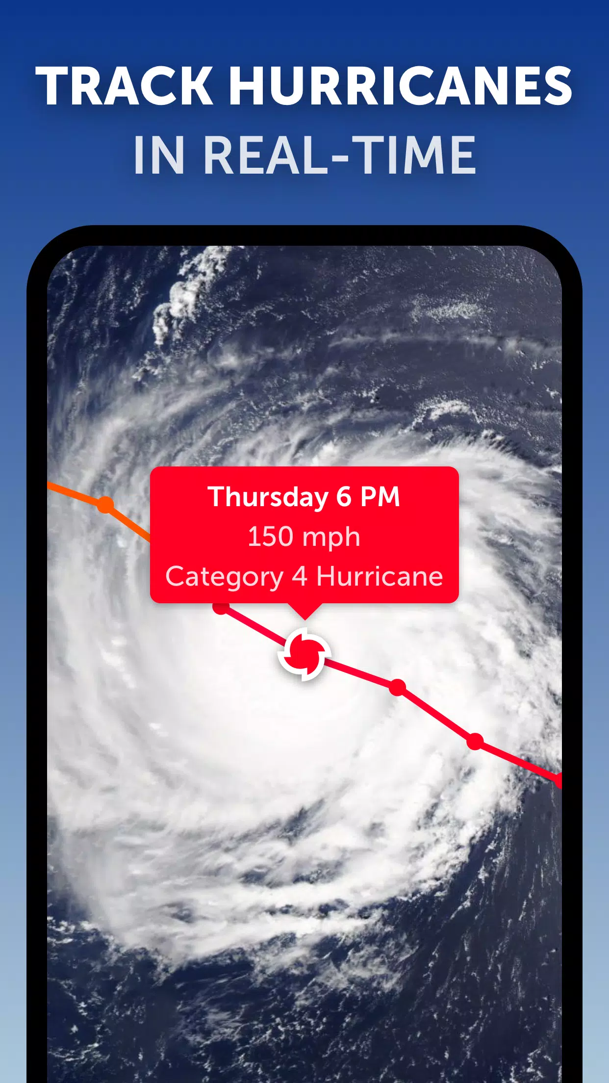
Hurricane Tracking: Zoom Earth's state-of-the-art tropical tracking system uses the latest data from NHC, JTWC, NRL, and IBTrACS to help you follow hurricanes from their inception to their peak intensity. Whether it's a developing storm or a category 5 hurricane, you'll have real-time updates at your disposal.
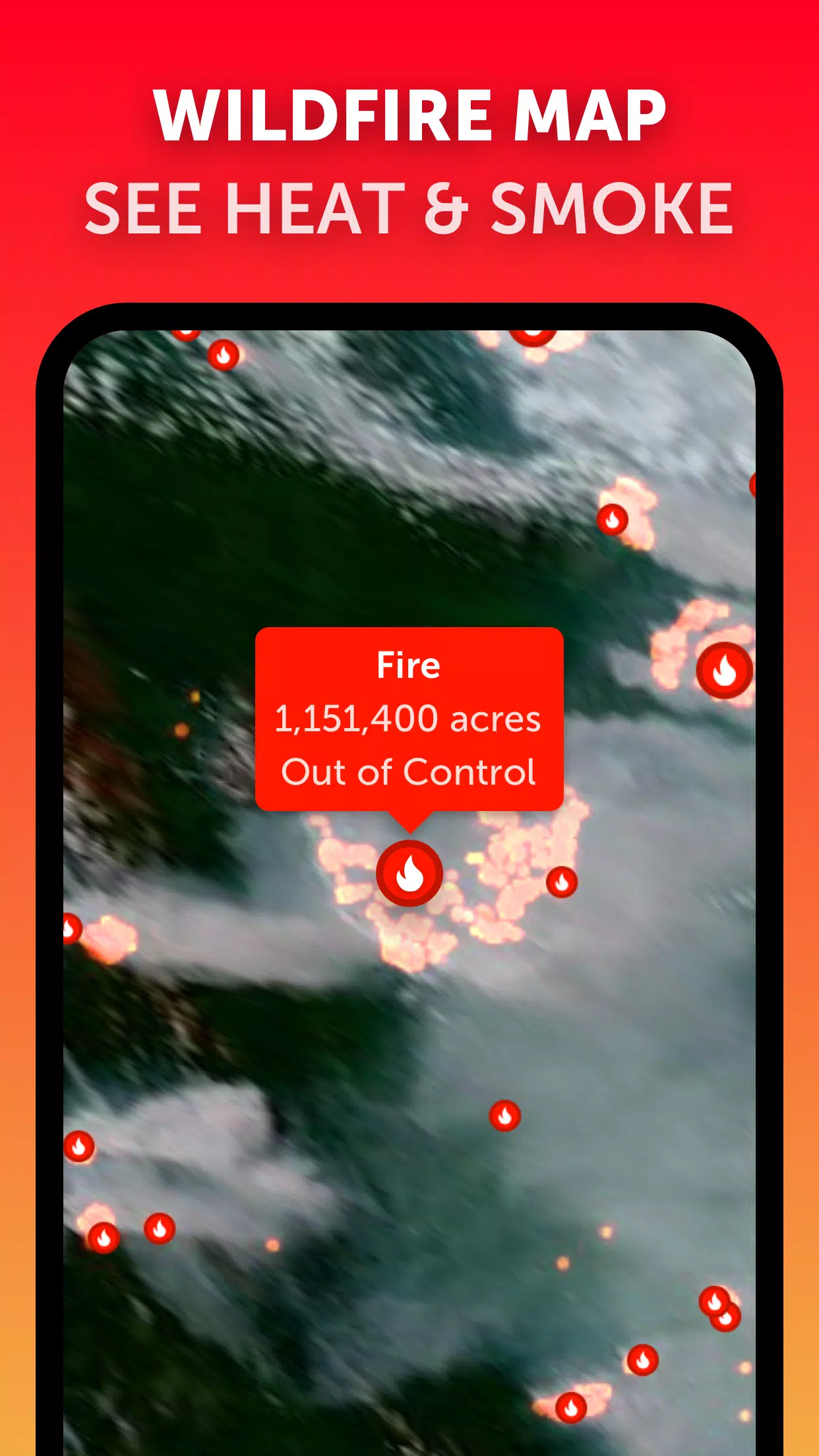
Wildfire Tracking: Stay informed about wildfires with the active fires and heat spots overlay. This feature utilizes data from NASA FIRMS to show points of very high temperature detected by satellite, updating daily to keep you informed about fire activity around the world.
Customization: Tailor your experience with Zoom Earth's comprehensive settings. Adjust temperature units, wind units, time zone, animation styles, and more to suit your preferences and needs.
What's New in the Latest Version 3.1
Last updated on Sep 19, 2024
- Reduced clutter when viewing multiple tropical systems, making it easier to track and monitor various storms simultaneously.
- Separate alerts for Atlantic and Eastern Pacific systems, ensuring you receive timely and region-specific updates.
- Improvements to map labels, enhancing readability and user experience.
With Zoom Earth, you have a powerful tool at your disposal to track hurricanes, typhoons, and tropical cyclones, helping you stay safe and informed about the dynamic weather patterns affecting our planet.
Tags : Weather