Introducing the definitive HEMAV app, designed to revolutionize the way you monitor your fields directly from your mobile device. By leveraging the power of HEMAV LAYERS, this app combines Artificial Intelligence with cutting-edge drone and satellite technology to provide you with comprehensive agronomic reports and recommendations.
With the HEMAV app, you can:
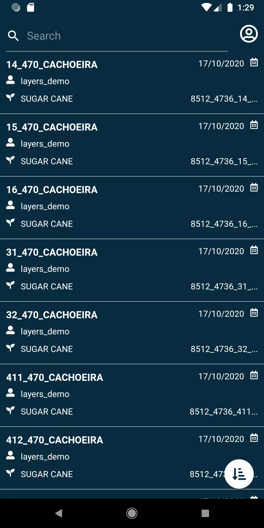
- View your fields effortlessly, gaining a clear perspective of your agricultural landscape.
- Utilize an array of filters to search for specific fields, making it easier to manage your operations.
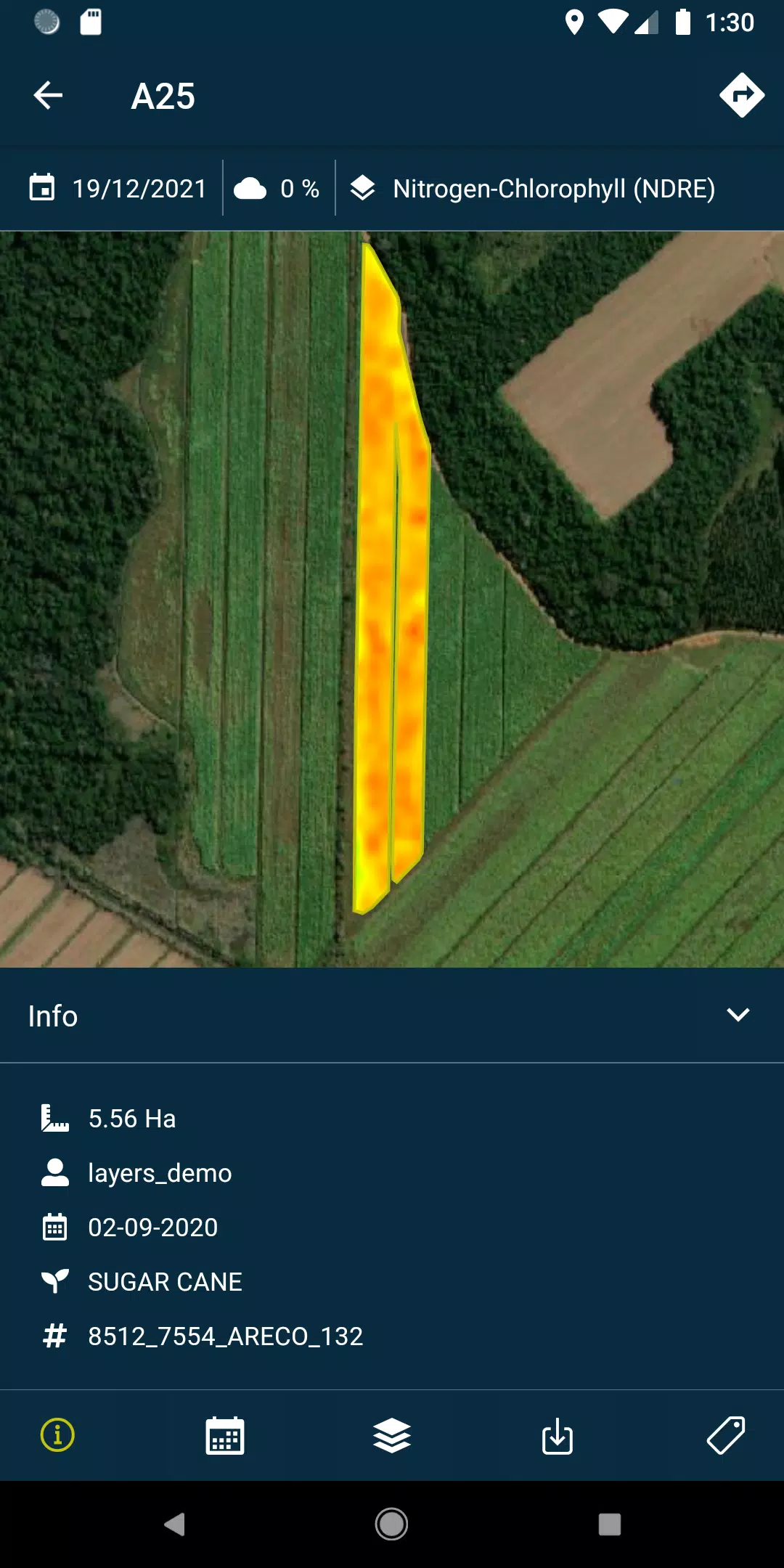
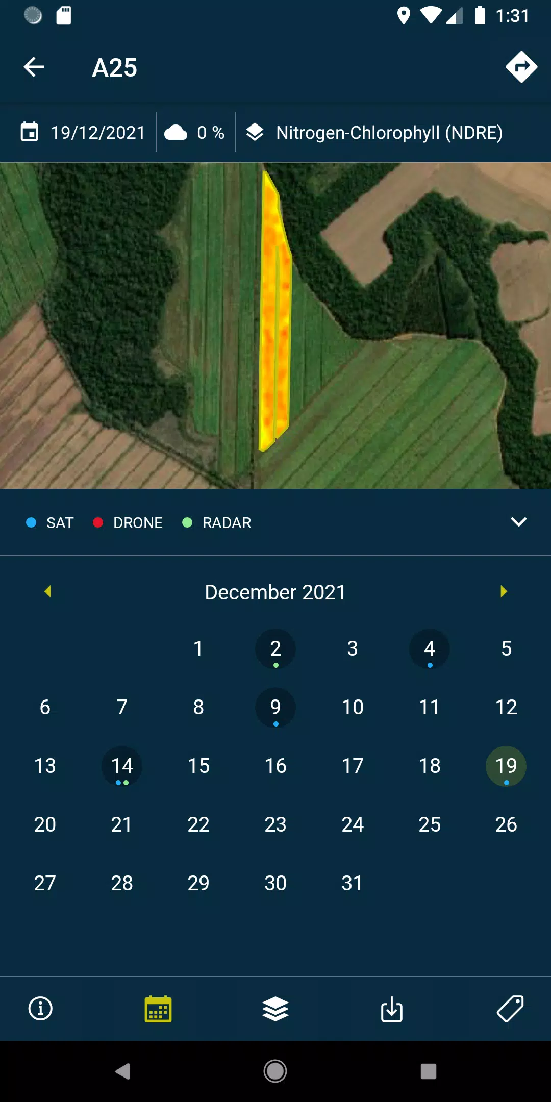
- Access detailed layers, including reports and recommendations, as well as PDFs generated from each flight or satellite pass over your fields. This feature is available both online and offline, ensuring you have constant access to critical data.
- Capture and geolocate field photos, and add comments to them for thorough field management and documentation.
- Conduct field surveys, seamlessly integrating them into the system for further processing and analysis.
To unlock the full potential of this powerful tool, a subscription to HEMAV products is required.
About HEMAV Precision Agriculture Service
HEMAV's LAYERS software harnesses the capabilities of artificial intelligence to deliver tailored agronomic recommendations. This service enhances the efficiency of treatments and provides precise crop production estimates, both in terms of yield and quality, empowering the agricultural sector to make informed decisions.
What's New in Version 2.8.5
Last updated on Oct 19, 2024
- Bug fixes: Resolved issues with pending sample uploads and enhanced the filtering of cloud coverage for more accurate data.
Tags : Productivity