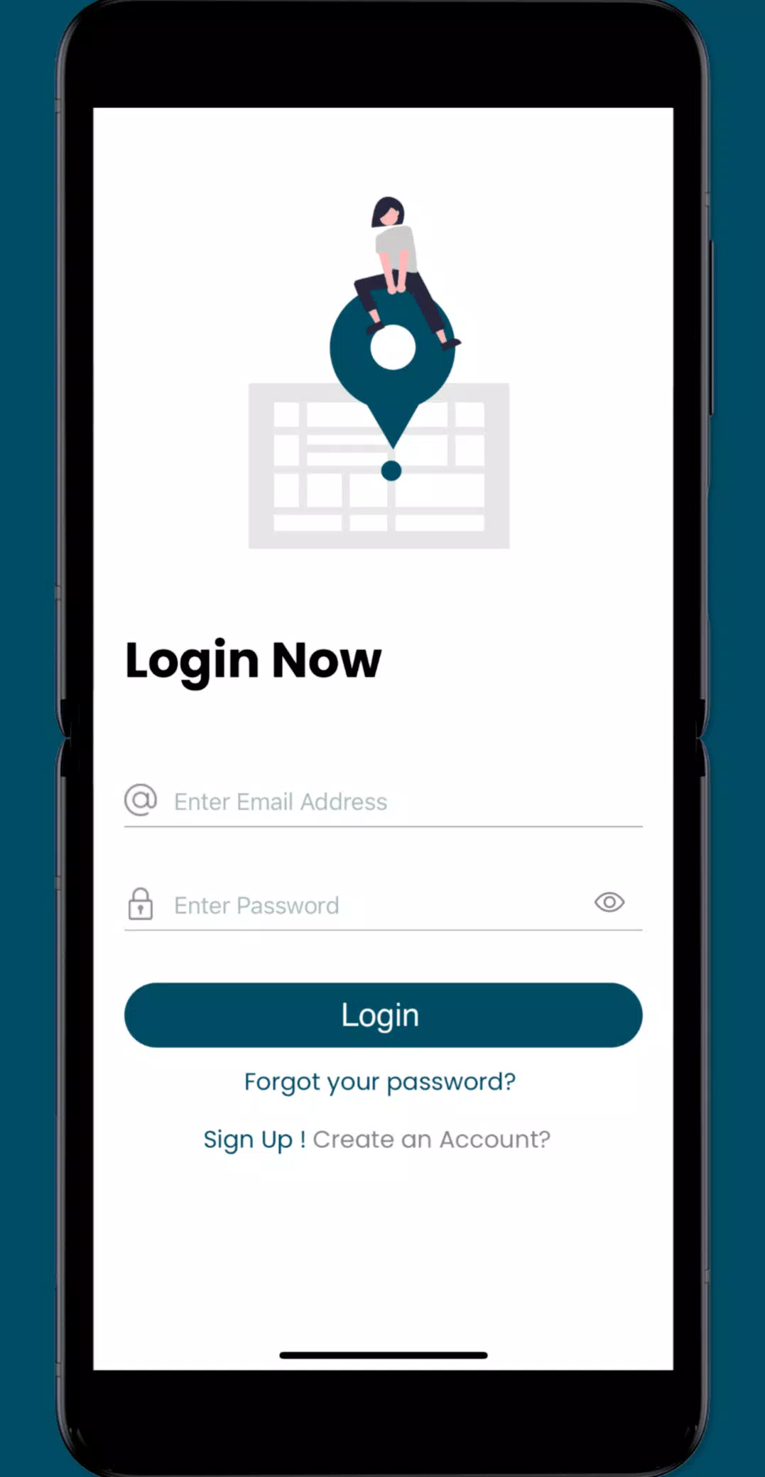
Joining crowd-sourcing events through the Sea Level Rise app provides a powerful way to contribute to the understanding and documentation of sea level rise and flooding in your community. This innovative tool empowers individuals to map out flooding incidents, creating a detailed picture of how sea level rise impacts coastal areas.
While sea level rise is a global concern, particularly affecting low-lying coastal regions, our efforts began in Hampton Roads, Virginia. Here, we've engaged thousands of volunteers during annual "Catch the King Tide" events. These events, organized by Wetlands Watch, have been instrumental in fostering a more informed and connected community ready to tackle the challenges of sea level rise head-on.
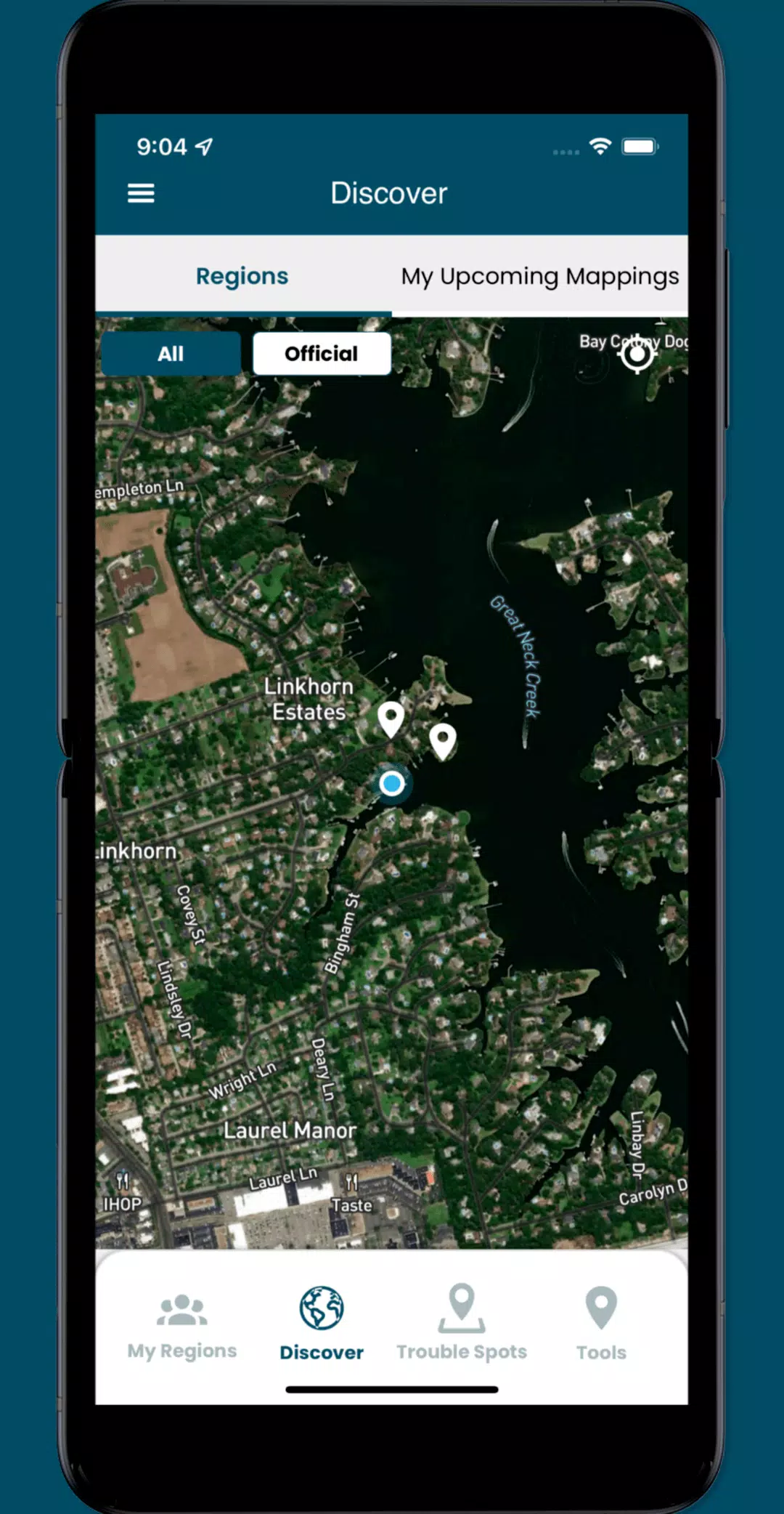
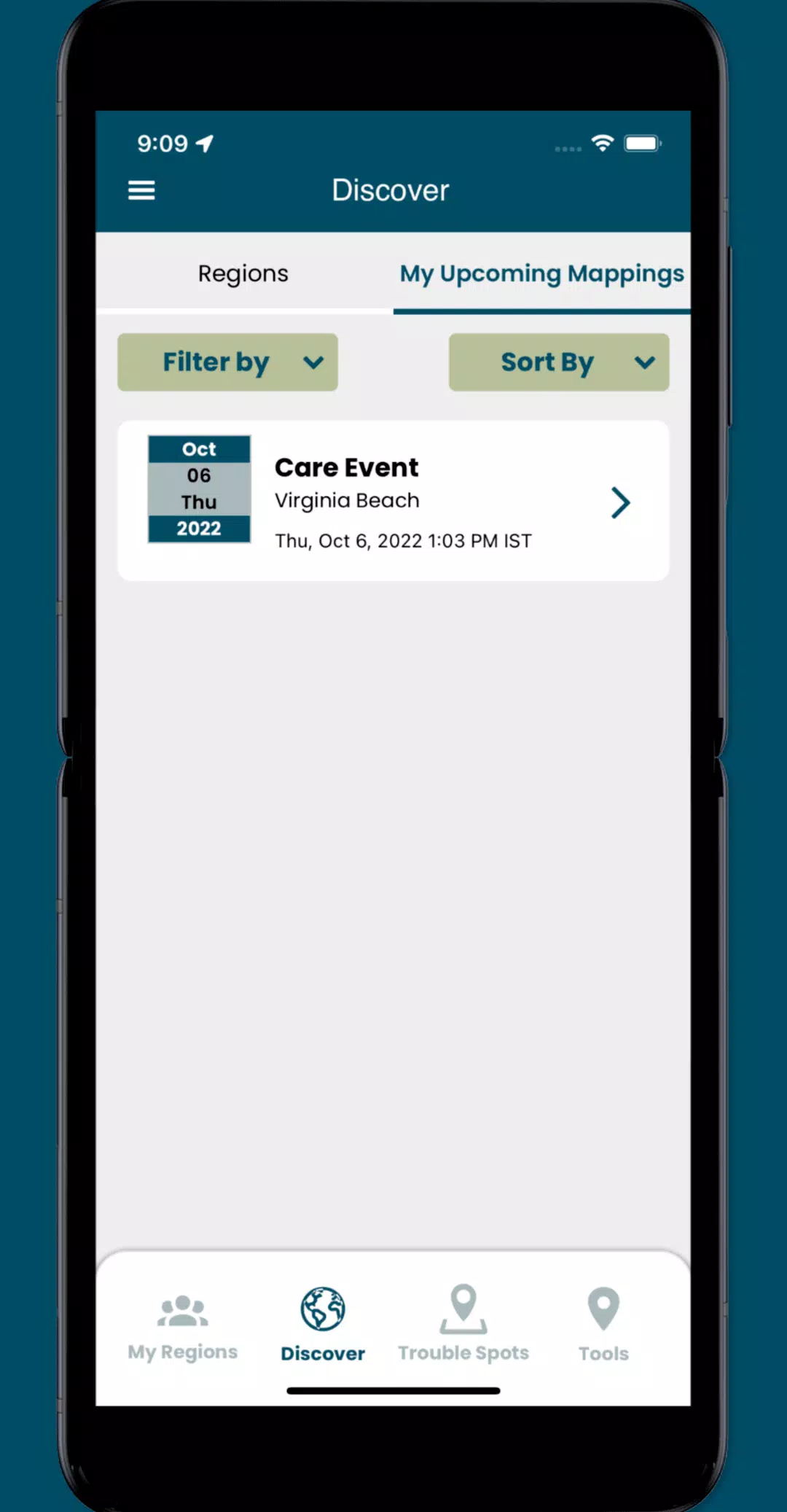
By using the Sea Level Rise app, you can access user-submitted data on this critical issue and volunteer to gather essential street-level information. This app enables you to:
- Participate in crowd-sourcing events to collect the localized data that researchers and civic leaders need to better understand and address sea level rise.
- Identify and report "Trouble" spots where high water impacts your travel during adverse weather conditions.
- Capture and share photos that document the effects of flooding in your community, providing valuable visual evidence.
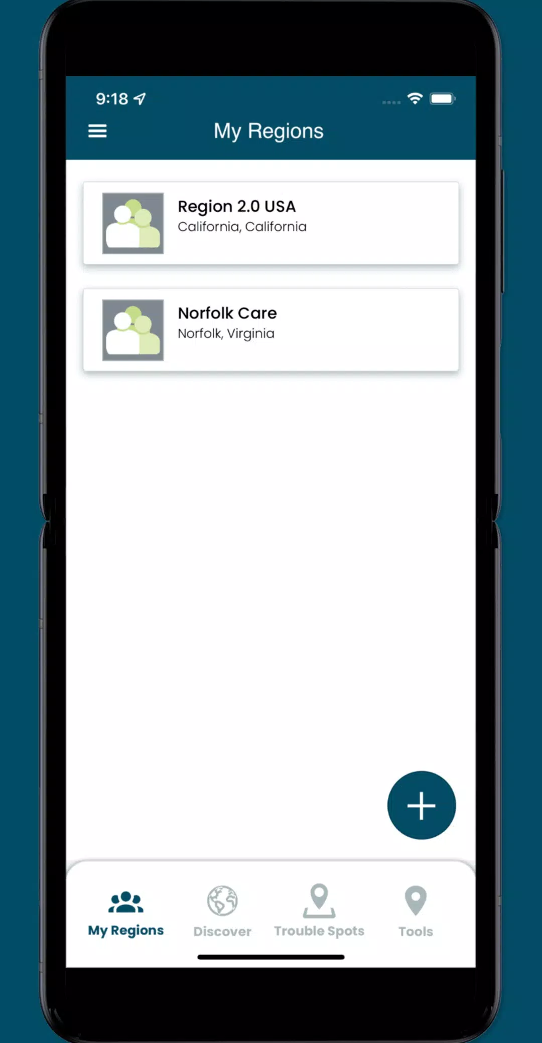
- Engage with specific collaboration spaces, or regions, where you can coordinate volunteers and plan mapping events to maximize your impact.
What's New in Version 3.0.9
Last updated on Oct 19, 2024
Enhancements in the latest version include:
- Minor UI improvements for a smoother user experience.
- Resolution of several issues to enhance app functionality.
Tags : Weather