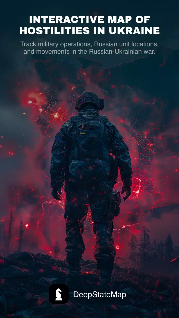
This is the official DeepStateMap app, providing an interactive online map of the Ukraine conflict. Track military operations, Russian troop locations, and movements in real-time.
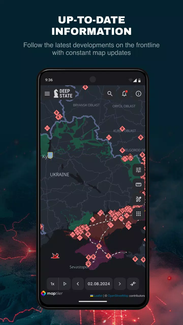
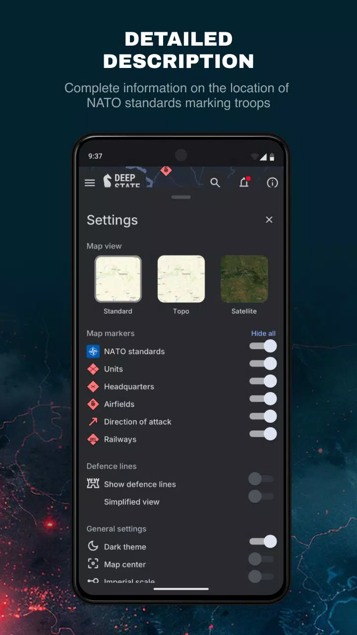
The app features data caching for offline access. Map symbols clearly indicate:
- Recently liberated Ukrainian territory (last two weeks)
- Liberated territory
- Territory requiring verification
- Russian-occupied territory
- Territory of occupied Crimea and ORDLO
- Territory of Transnistria
- Russian unit locations
- Russian headquarters
- Russian airfields
- Russian fleet
- Directions of Russian attacks
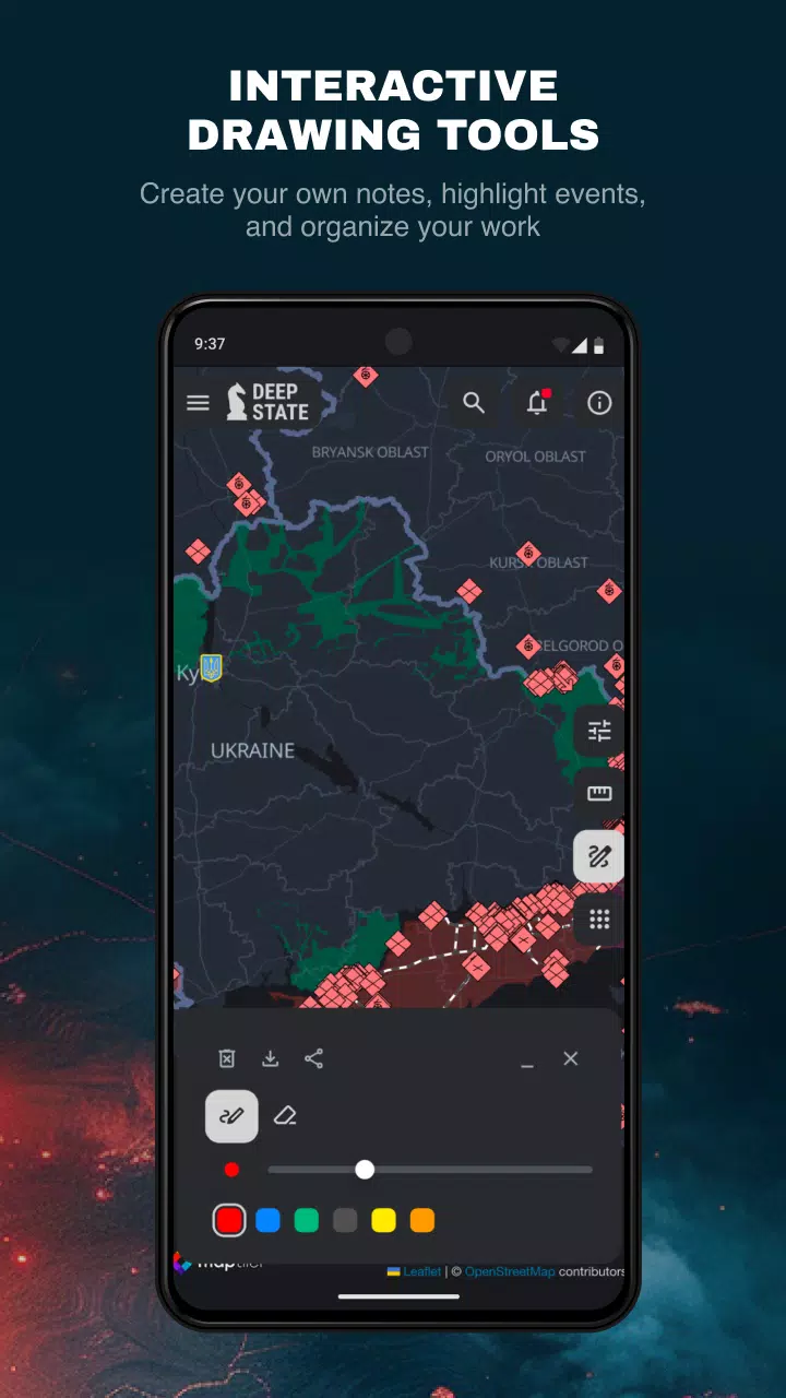
Color-coded zones and markers display troop and airfield positions. Additional features include a news feed, distance measurement tools, integration with NASA FIRMS fire data for frontline comparison, and a range calculation mode for various artillery systems (HIMARS, M777, CAESAR, etc.) across the entire front.
Version 2.0.3 (Aug 13, 2024)
Minor bug fixes and performance enhancements. Update to the latest version for the best experience!
Tags : News & Magazines